If you have access to any of these areas, try them out. I hope you’ll find them fun.
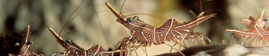
Santa Monica Bay encompasses an area east of an imaginary line stretching from Rocky Point in the Pacific Palisades at its southern end all the way to Malibu Point at its northern end. I grew up in the city of Santa Monica, and I worked on sport fishing boats in the bay as a summer job while I was going to school. Long before there were GPS waypoints, I learned to take landmark sightings to relocate the best fishing spots in the bay. Now this area is closed to commercial fishing and lobster trapping, so that makes it productive for fishermen and divers if you know where to go. Later, when I was at UCLA, I learned to dive. That was in the mid 1960’s, and my friends and I started to dive these same spots. At that time we were almost the only ones diving there and we cleaned up on game. Now, many people know about most of these areas, so game is more scarce, but it’s still there for the taking if you dive the right spot.
First off, here are some of the coordinates for some of the artificial reefs that have been placed in the bay over the years. More information is available through the Department of Fish and Game, which has additional information on its Artificial Reef Program and updates on newer structures. I haven’t been diving on these reefs in 15 years, so things may have changed.
Marina Del Rey area. Constructed in 1975 it’s located just outside and slightly south of the harbor entrance in 65 feet of water. There are three different structures here. Good population of sand and calico bass, okay for lobsters. Location is given in longitude and latitude only: (33 57 50 North) (118 29 05 West).
Santa Monica Canyon area. Constructed in 1960 it’s just slightly to the south of the canyon entrance in 60 feet of water. This structure has badly deteriorated over time and isn’t as good for diving as it used to be. Fish and lobster populations have also decreased. Location is given in longitude and latitude only: (33 59 54 North) (118 32 22 West).
Sunset Boulevard area. Constructed in 1988 it’s located south of the canyon’s entrance in just over 60 feet of water. This structure is also broken into different pieces. Good populations of sand bass, some lobsters. Location is given in longitude and latitude only: (33 59 94 North) (118 33 33 West)
Carbon Canyon area. Constructed in 1960 it’s located pretty much outside the canyon’s mouth in 60 feet of water. Structure has suffered some deterioration over the years. Still has a fair population of sand bass and sometimes a few lobsters, too. Location is given in longitude and latitude only: (34 01 54 North) (118 39 12 West)
More dive sites to follow in the next post….